Newlands Farm saved
Introduction
The photograph on this page of Newlands Farm saved by Steve Coffin as part of the Geograph project.
The Geograph project started in 2005 with the aim of publishing, organising and preserving representative images for every square kilometre of Great Britain, Ireland and the Isle of Man.

There are currently over 7.5m images from over 14,400 individuals and you can help contribute to the project by visiting https://www.geograph.org.uk
Newlands Farm saved
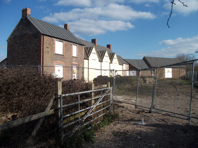
Image: © Steve Coffin Taken: 31 Mar 2013
Newlands Farm farmhouse - derelict and abandoned for years following the building of the A4174 ring road metres from its front door - after having been re-roofed and preserved in the plan for Bristol Science Park.
Images are licensed for reuse under creativecommons.org/licenses/by-sa/2.0
Image Location
Latitude
51.496785
Longitude
-2.476561