Beauly Firth at North Kessock
Introduction
The photograph on this page of Beauly Firth at North Kessock by Julian Paren as part of the Geograph project.
The Geograph project started in 2005 with the aim of publishing, organising and preserving representative images for every square kilometre of Great Britain, Ireland and the Isle of Man.

There are currently over 7.5m images from over 14,400 individuals and you can help contribute to the project by visiting https://www.geograph.org.uk
Beauly Firth at North Kessock
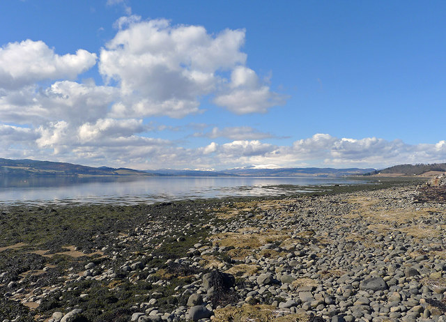
Image: © Julian Paren Taken: 30 Mar 2013
All the houses along the road between North Kessock and Charlestown have an uninterrupted view over the Beauly Firth.
Images are licensed for reuse under creativecommons.org/licenses/by-sa/2.0
Image Location
Latitude
57.501865
Longitude
-4.258216