A413 through Lovel and Shirehill Woods
Introduction
The photograph on this page of A413 through Lovel and Shirehill Woods by Rob Farrow as part of the Geograph project.
The Geograph project started in 2005 with the aim of publishing, organising and preserving representative images for every square kilometre of Great Britain, Ireland and the Isle of Man.

There are currently over 7.5m images from over 14,400 individuals and you can help contribute to the project by visiting https://www.geograph.org.uk
A413 through Lovel and Shirehill Woods
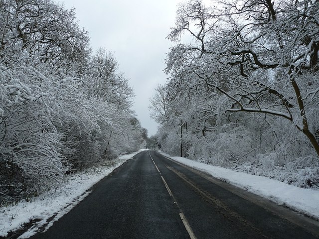
Image: © Rob Farrow Taken: 24 Mar 2013
The A413 between Whittlebury and the Lillingstones passes through these woods with Lovel Wood on the left and Shirehill Wood on the right. The county boundary between Northamptonshire (to the north) and Buckinghamshire follows the northern edge of these two woods, so this view is just inside the latter county.
Images are licensed for reuse under creativecommons.org/licenses/by-sa/2.0
Image Location
Latitude
52.070237
Longitude
-0.979299