Afon-y-Garth in Coed-y-Garth Wood
Introduction
The photograph on this page of Afon-y-Garth in Coed-y-Garth Wood by Maggie Cox as part of the Geograph project.
The Geograph project started in 2005 with the aim of publishing, organising and preserving representative images for every square kilometre of Great Britain, Ireland and the Isle of Man.

There are currently over 7.5m images from over 14,400 individuals and you can help contribute to the project by visiting https://www.geograph.org.uk
Afon-y-Garth in Coed-y-Garth Wood
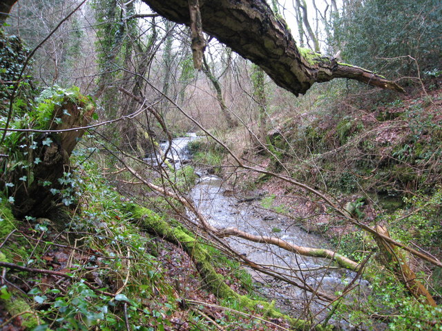
Image: © Maggie Cox Taken: 17 Mar 2013
This river runs through delightful ancient woodland owned and managed by the Woodland Trust. Nearby is a stone lined adit dating back to 1780 - driven to drain water from the former Trelogan lead mine.
Images are licensed for reuse under creativecommons.org/licenses/by-sa/2.0
Image Location
Latitude
53.321512
Longitude
-3.309953