Sandacres
Introduction
The photograph on this page of Sandacres by Graham Hogg as part of the Geograph project.
The Geograph project started in 2005 with the aim of publishing, organising and preserving representative images for every square kilometre of Great Britain, Ireland and the Isle of Man.

There are currently over 7.5m images from over 14,400 individuals and you can help contribute to the project by visiting https://www.geograph.org.uk
Sandacres
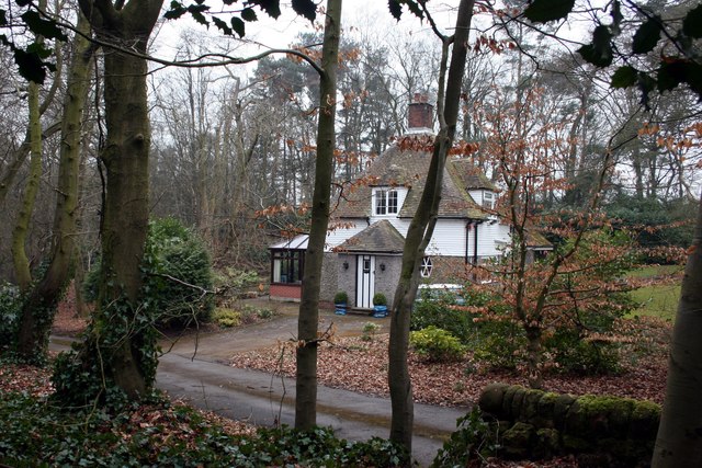
Image: © Graham Hogg Taken: 19 Mar 2013
One of several large residential properties on Cheddleton Heath Road, seen here from the adjacent public footpath.
Images are licensed for reuse under creativecommons.org/licenses/by-sa/2.0
Image Location
Latitude
53.075666
Longitude
-2.029364