British Rail
Introduction
The photograph on this page of British Rail by MDS as part of the Geograph project.
The Geograph project started in 2005 with the aim of publishing, organising and preserving representative images for every square kilometre of Great Britain, Ireland and the Isle of Man.

There are currently over 7.5m images from over 14,400 individuals and you can help contribute to the project by visiting https://www.geograph.org.uk
British Rail
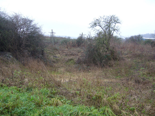
Image: © MDS Taken: 10 Feb 2007
Another View from the Interflow bridge zone, the opposite way, south of Port Marine, Portishead. Development, with a rail bridge to the right, or is it Conservation Ecology? Whatever, it is mostly waste beneath, over silt. These are fairly good bird sanctuaries.
Images are licensed for reuse under creativecommons.org/licenses/by-sa/2.0
Image Location


Leaflet Map data © OpenStreetMap
Latitude
51.484708
Longitude
-2.761211