Rendezvous Street
Introduction
The photograph on this page of Rendezvous Street by John Baker as part of the Geograph project.
The Geograph project started in 2005 with the aim of publishing, organising and preserving representative images for every square kilometre of Great Britain, Ireland and the Isle of Man.

There are currently over 7.5m images from over 14,400 individuals and you can help contribute to the project by visiting https://www.geograph.org.uk
Rendezvous Street
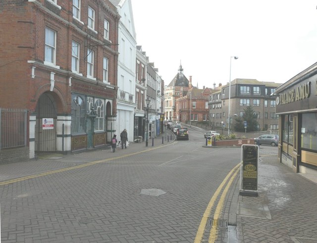
Image: © John Baker Taken: 14 Mar 2013
Just before it joins Grace Hill (to the left) and Bradstone Road (to the right). The white-painted building on the left is boarded up.
Images are licensed for reuse under creativecommons.org/licenses/by-sa/2.0
Image Location
Latitude
51.080892
Longitude
1.181284