Church Street (St Paul's)
Introduction
The photograph on this page of Church Street (St Paul's) by John Baker as part of the Geograph project.
The Geograph project started in 2005 with the aim of publishing, organising and preserving representative images for every square kilometre of Great Britain, Ireland and the Isle of Man.

There are currently over 7.5m images from over 14,400 individuals and you can help contribute to the project by visiting https://www.geograph.org.uk
Church Street (St Paul's)
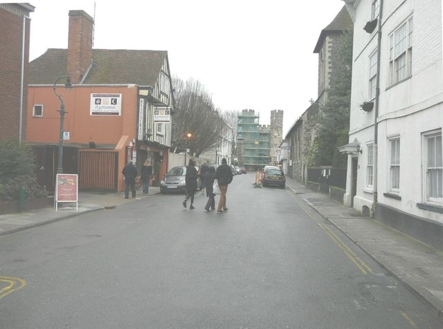
Image: © John Baker Taken: 10 Mar 2013
The gate-house of St Augustine's Abbey, at the end of the street, is shrouded in scaffolding, which may have been erected to enable necessary repairs to the structure.
Images are licensed for reuse under creativecommons.org/licenses/by-sa/2.0
Image Location
Latitude
51.27782
Longitude
1.086173