Moel Maenefa
Introduction
The photograph on this page of Moel Maenefa by Rude Health as part of the Geograph project.
The Geograph project started in 2005 with the aim of publishing, organising and preserving representative images for every square kilometre of Great Britain, Ireland and the Isle of Man.

There are currently over 7.5m images from over 14,400 individuals and you can help contribute to the project by visiting https://www.geograph.org.uk
Moel Maenefa
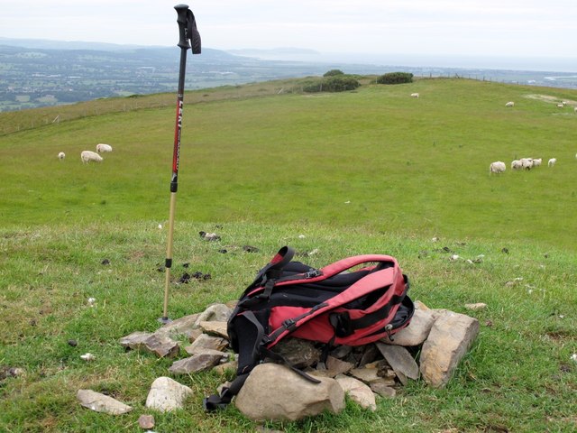
Image: © Rude Health Taken: 18 Jun 2009
Via Offas Dyke to SE, parking for 2-3 cars, super 360 degree views from summit; dry, clear but cloudy. HuMP demoted Jan 2013 and trig point has been destroyed. Name: Moel Maenefa Hill number: 5165 Height: 289m / 948ft Area: 30C: Llandudno to Wrexham Class: sHu Grid ref: SJ 08714 74418 Summit feature: small cairn Drop: 98m Col: 191m SJ086758
Images are licensed for reuse under creativecommons.org/licenses/by-sa/2.0
Image Location
Latitude
53.258811
Longitude
-3.36995