Axe Edge End
Introduction
The photograph on this page of Axe Edge End by Bill Boaden as part of the Geograph project.
The Geograph project started in 2005 with the aim of publishing, organising and preserving representative images for every square kilometre of Great Britain, Ireland and the Isle of Man.

There are currently over 7.5m images from over 14,400 individuals and you can help contribute to the project by visiting https://www.geograph.org.uk
Axe Edge End
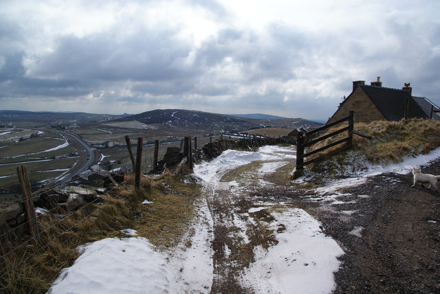
Image: © Bill Boaden Taken: 23 Feb 2013
There are a couple of houses here with a view down onto the A53, which can be seen heading south.
Images are licensed for reuse under creativecommons.org/licenses/by-sa/2.0
Image Location
Latitude
53.2149
Longitude
-1.955634