The south end of Westbury Road, Stockingford
Introduction
The photograph on this page of The south end of Westbury Road, Stockingford by Richard Vince as part of the Geograph project.
The Geograph project started in 2005 with the aim of publishing, organising and preserving representative images for every square kilometre of Great Britain, Ireland and the Isle of Man.

There are currently over 7.5m images from over 14,400 individuals and you can help contribute to the project by visiting https://www.geograph.org.uk
The south end of Westbury Road, Stockingford
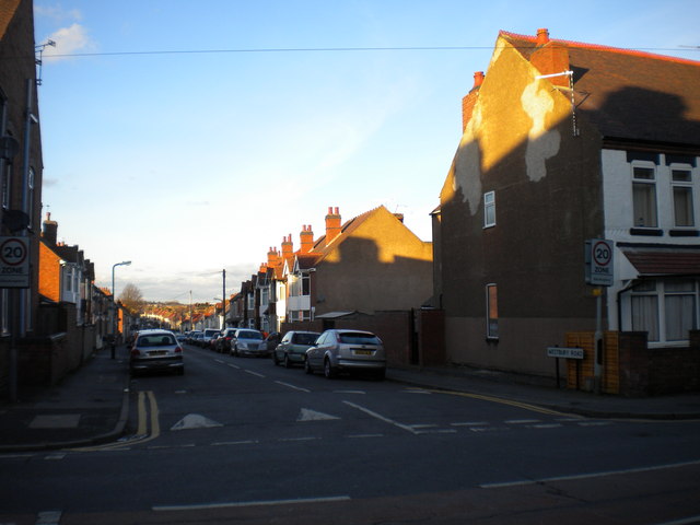
Image: © Richard Vince Taken: 2 Feb 2013
Westbury Road is a largely residential street linking Arbury Road (foreground) with Haunchwood Road, and is part of the 20mph zone that covers part of Stockingford. The low winter Sun is catching the roofs of the houses, highlighting the way Westbury Road undulates.
Images are licensed for reuse under creativecommons.org/licenses/by-sa/2.0
Image Location
Latitude
52.515743
Longitude
-1.500992