Boat houses, Broughty Ferry
Introduction
The photograph on this page of Boat houses, Broughty Ferry by Richard Webb as part of the Geograph project.
The Geograph project started in 2005 with the aim of publishing, organising and preserving representative images for every square kilometre of Great Britain, Ireland and the Isle of Man.

There are currently over 7.5m images from over 14,400 individuals and you can help contribute to the project by visiting https://www.geograph.org.uk
Boat houses, Broughty Ferry
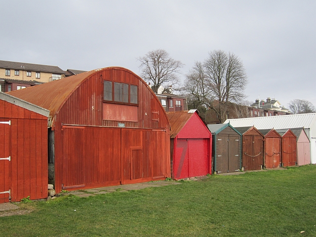
Image: © Richard Webb Taken: 23 Feb 2013
A strip between firth and railway is home to several sailing clubs.
Images are licensed for reuse under creativecommons.org/licenses/by-sa/2.0
Image Location
Latitude
56.468543
Longitude
-2.893311