Southern side of a tunnel under the M48 motorway near Chepstow
Introduction
The photograph on this page of Southern side of a tunnel under the M48 motorway near Chepstow by Jaggery as part of the Geograph project.
The Geograph project started in 2005 with the aim of publishing, organising and preserving representative images for every square kilometre of Great Britain, Ireland and the Isle of Man.

There are currently over 7.5m images from over 14,400 individuals and you can help contribute to the project by visiting https://www.geograph.org.uk
Southern side of a tunnel under the M48 motorway near Chepstow
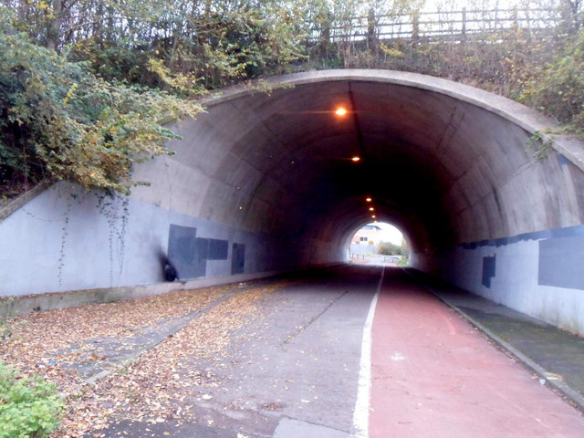
Image: © Jaggery Taken: 13 Nov 2012
A footpath and cycleway pass through the 70 metre long tunnel under the M48. This is part of the route to and from Aust for walkers and cyclists, across the contiguous Wye Bridge and Severn Bridge.
Images are licensed for reuse under creativecommons.org/licenses/by-sa/2.0
Image Location
Latitude
51.619875
Longitude
-2.668716