Entering Jamestown
Introduction
The photograph on this page of Entering Jamestown by Lairich Rig as part of the Geograph project.
The Geograph project started in 2005 with the aim of publishing, organising and preserving representative images for every square kilometre of Great Britain, Ireland and the Isle of Man.

There are currently over 7.5m images from over 14,400 individuals and you can help contribute to the project by visiting https://www.geograph.org.uk
Entering Jamestown
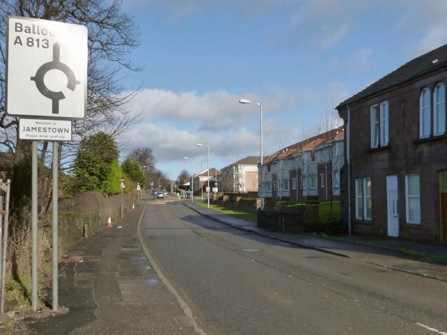
Image: © Lairich Rig Taken: 15 Feb 2013
John Neill's 1912 book "Records and Reminiscences of Bonhill Parish" offers, on page 43, an explanation for the name Jamestown. I cannot vouch for its correctness, but it is worth quoting here, for interest: "In 1773 a schoolhouse was erected at Dam of Balloch, now called Jamestown, from the fact that three feuars whose individual Christian name was James, had each built a house there."
Images are licensed for reuse under creativecommons.org/licenses/by-sa/2.0
Image Location
Latitude
55.990039
Longitude
-4.572523