Cloudside, Sandiacre, Derbys.
Introduction
The photograph on this page of Cloudside, Sandiacre, Derbys. by David Hallam-Jones as part of the Geograph project.
The Geograph project started in 2005 with the aim of publishing, organising and preserving representative images for every square kilometre of Great Britain, Ireland and the Isle of Man.

There are currently over 7.5m images from over 14,400 individuals and you can help contribute to the project by visiting https://www.geograph.org.uk
Cloudside, Sandiacre, Derbys.
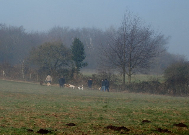
Image: © David Hallam-Jones Taken: 16 Feb 2013
These early morning dog-walkers have left the closed end of the Church Drive cul-de-sac behind and appear to be making their way across this public open space - known as Cloudside - towards Cloudside Drive. This grassy area sits atop a sandstone outcrop with views across Erewash Valley Golf Course, Stanton by Dale and the former Stanton Ironworks. The name "Stony Clud" is said to come from "clud", the Saxon word for hill.
Images are licensed for reuse under creativecommons.org/licenses/by-sa/2.0
Image Location
Latitude
52.933066
Longitude
-1.292683