Remains of Colliery Buildings, Clock Face
Introduction
The photograph on this page of Remains of Colliery Buildings, Clock Face by David Dixon as part of the Geograph project.
The Geograph project started in 2005 with the aim of publishing, organising and preserving representative images for every square kilometre of Great Britain, Ireland and the Isle of Man.

There are currently over 7.5m images from over 14,400 individuals and you can help contribute to the project by visiting https://www.geograph.org.uk
Remains of Colliery Buildings, Clock Face
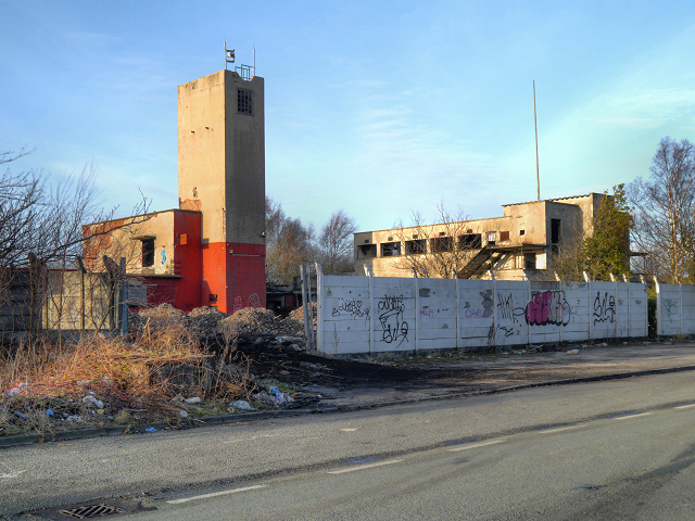
Image: © David Dixon Taken: 8 Feb 2013
Clock Face Colliery Country Park lies on the site of a former colliery, dating back to the early 1890s. The colliery took its name from the local Clock Face Inn and Clock Face Road (SJ5291 : The Clock Face). At its peak, the colliery was producing 160000 tons of coal per annum and employed over 700 people however, in 1965, the NCB declared the colliery uneconomical due to geological difficulties and closed the site the following year.
Images are licensed for reuse under creativecommons.org/licenses/by-sa/2.0
Image Location
Latitude
53.418858
Longitude
-2.701475