Signs of former industry at Allenheads
Introduction
The photograph on this page of Signs of former industry at Allenheads by Oliver Dixon as part of the Geograph project.
The Geograph project started in 2005 with the aim of publishing, organising and preserving representative images for every square kilometre of Great Britain, Ireland and the Isle of Man.

There are currently over 7.5m images from over 14,400 individuals and you can help contribute to the project by visiting https://www.geograph.org.uk
Signs of former industry at Allenheads
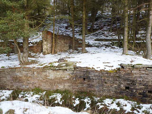
Image: © Oliver Dixon Taken: 8 Feb 2013
In the foreground the River East Allen flows between walls. Beyond, what appears to be a leat and an old industrial building, no doubt connected with the mining which was once so important in the area.
Images are licensed for reuse under creativecommons.org/licenses/by-sa/2.0
Image Location
Latitude
54.804621
Longitude
-2.220408