Playing Fields Bovington Camp
Introduction
The photograph on this page of Playing Fields Bovington Camp by Nigel Mykura as part of the Geograph project.
The Geograph project started in 2005 with the aim of publishing, organising and preserving representative images for every square kilometre of Great Britain, Ireland and the Isle of Man.

There are currently over 7.5m images from over 14,400 individuals and you can help contribute to the project by visiting https://www.geograph.org.uk
Playing Fields Bovington Camp
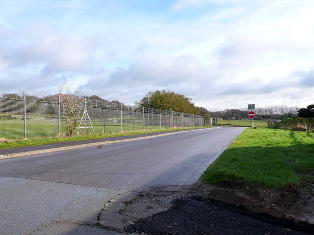
Image: © Nigel Mykura Taken: 1 Feb 2013
Even these playing fields on the south side of the camp are securely surrounded by high barbed wire fences
Images are licensed for reuse under creativecommons.org/licenses/by-sa/2.0
Image Location


Leaflet Map data © OpenStreetMap
Latitude
50.694284
Longitude
-2.237801