Farm Track through Rindle Wood
Introduction
The photograph on this page of Farm Track through Rindle Wood by Anthony Parkes as part of the Geograph project.
The Geograph project started in 2005 with the aim of publishing, organising and preserving representative images for every square kilometre of Great Britain, Ireland and the Isle of Man.

There are currently over 7.5m images from over 14,400 individuals and you can help contribute to the project by visiting https://www.geograph.org.uk
Farm Track through Rindle Wood
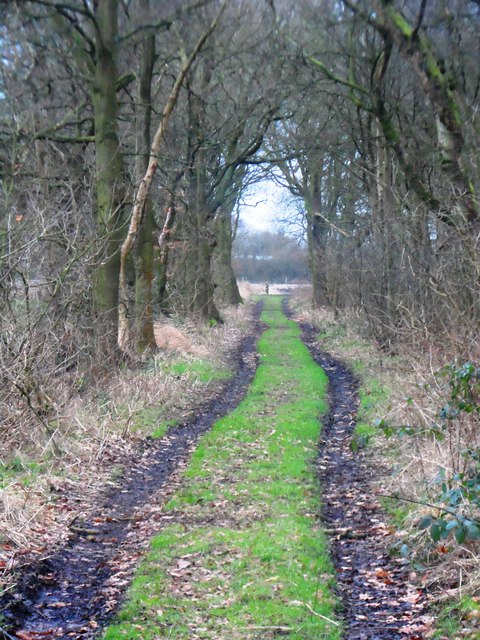
Image: © Anthony Parkes Taken: 3 Feb 2013
Rindle Wood is a slender length of deciduous woodland, the track running along it eventually bears round to the right and towards the fields and the Astley Moss SSSI (Site of Special Scientific Interest).
Images are licensed for reuse under creativecommons.org/licenses/by-sa/2.0
Image Location
Latitude
53.47293
Longitude
-2.450723