Woodlands End
Introduction
The photograph on this page of Woodlands End by Christine Johnstone as part of the Geograph project.
The Geograph project started in 2005 with the aim of publishing, organising and preserving representative images for every square kilometre of Great Britain, Ireland and the Isle of Man.

There are currently over 7.5m images from over 14,400 individuals and you can help contribute to the project by visiting https://www.geograph.org.uk
Woodlands End
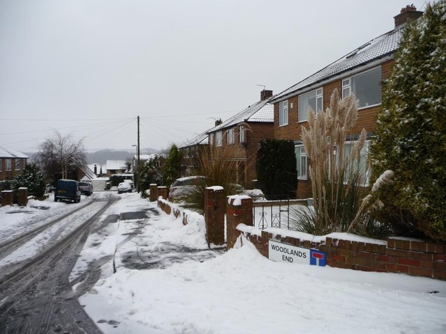
Image: © Christine Johnstone Taken: 20 Jan 2013
Woodlands End, Avenue, Way and Drive are imaginatively-named side streets off Woodlands Road.
Images are licensed for reuse under creativecommons.org/licenses/by-sa/2.0
Image Location
Latitude
53.632076
Longitude
-1.710524