Field by Lullington Garth
Introduction
The photograph on this page of Field by Lullington Garth by David Howard as part of the Geograph project.
The Geograph project started in 2005 with the aim of publishing, organising and preserving representative images for every square kilometre of Great Britain, Ireland and the Isle of Man.

There are currently over 7.5m images from over 14,400 individuals and you can help contribute to the project by visiting https://www.geograph.org.uk
Field by Lullington Garth
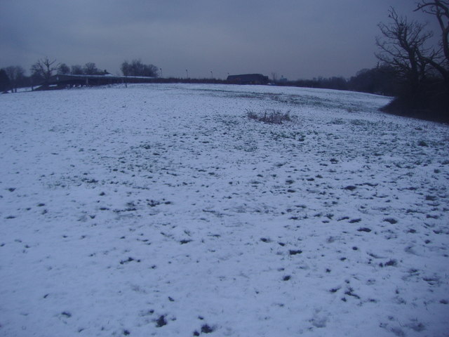
Image: © David Howard Taken: 17 Jan 2013
This is the end of the London urban area, probably the closest point to central London with fields at around nine miles. If you cross NW towards Arkley apart from one or two country houses on Totteridge Lane you can avoid all housing entirely and stay in the fields. This one is normally used for horses but clearly not very hospitable at the moment.
Images are licensed for reuse under creativecommons.org/licenses/by-sa/2.0
Image Location
Latitude
51.616449
Longitude
-0.200721