Route of Former Railway
Introduction
The photograph on this page of Route of Former Railway by Simon Carey as part of the Geograph project.
The Geograph project started in 2005 with the aim of publishing, organising and preserving representative images for every square kilometre of Great Britain, Ireland and the Isle of Man.

There are currently over 7.5m images from over 14,400 individuals and you can help contribute to the project by visiting https://www.geograph.org.uk
Route of Former Railway
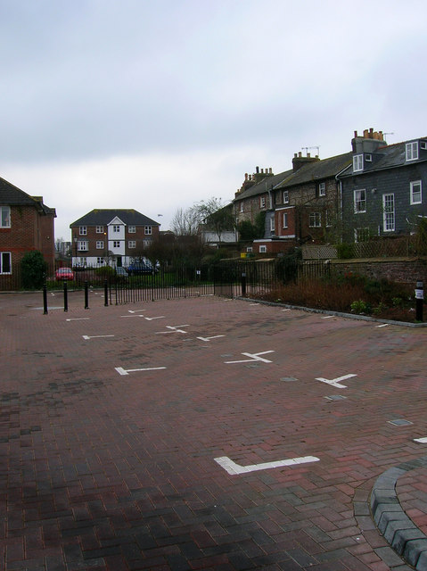
Image: © Simon Carey Taken: 4 Feb 2007
Roughly following the route of the original line from Brighton into the first Lewes Station. All track was removed by the end of the 1960s and the area developed for housing. The backs of the older houses in Friars Walk are to the right.
Images are licensed for reuse under creativecommons.org/licenses/by-sa/2.0
Image Location
Latitude
50.872649
Longitude
0.014246