Our Lady and St Mark's
Introduction
The photograph on this page of Our Lady and St Mark's by Lairich Rig as part of the Geograph project.
The Geograph project started in 2005 with the aim of publishing, organising and preserving representative images for every square kilometre of Great Britain, Ireland and the Isle of Man.

There are currently over 7.5m images from over 14,400 individuals and you can help contribute to the project by visiting https://www.geograph.org.uk
Our Lady and St Mark's
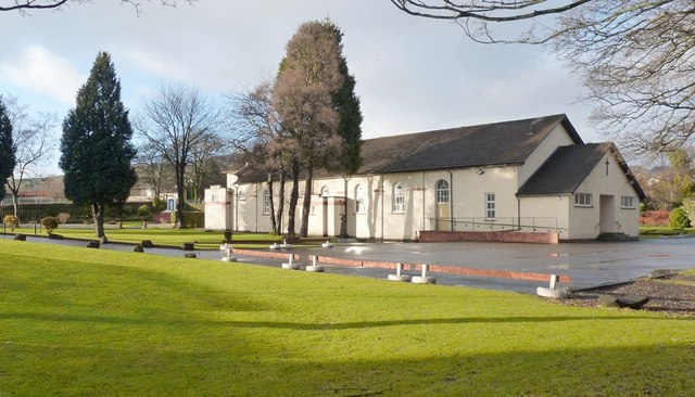
Image: © Lairich Rig Taken: 1 Jan 2013
This is a view of the church from the footpath and cycle route alongside the River Leven. A small Celtic cross standing on the near side of the building commemorates the church's 150th anniversary, which was in 2009: Image
Images are licensed for reuse under creativecommons.org/licenses/by-sa/2.0
Image Location
Latitude
55.986834
Longitude
-4.575356