Arthurstone House 1974
Introduction
The photograph on this page of Arthurstone House 1974 by Peter Ross as part of the Geograph project.
The Geograph project started in 2005 with the aim of publishing, organising and preserving representative images for every square kilometre of Great Britain, Ireland and the Isle of Man.

There are currently over 7.5m images from over 14,400 individuals and you can help contribute to the project by visiting https://www.geograph.org.uk
Arthurstone House 1974
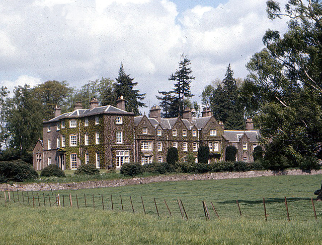
Image: © Peter Ross Taken: 5 May 1974
Stately country house, some parts of which date back to 1789, was home to the Carmichael family from 1869 to 1990, then served as a preparatory school (Butterstone) until 2003.
Images are licensed for reuse under creativecommons.org/licenses/by-sa/2.0
Image Location


Leaflet Map data © OpenStreetMap
Latitude
56.572213
Longitude
-3.203366