Hedgerow Field
Introduction
The photograph on this page of Hedgerow Field by Simon Carey as part of the Geograph project.
The Geograph project started in 2005 with the aim of publishing, organising and preserving representative images for every square kilometre of Great Britain, Ireland and the Isle of Man.

There are currently over 7.5m images from over 14,400 individuals and you can help contribute to the project by visiting https://www.geograph.org.uk
Hedgerow Field
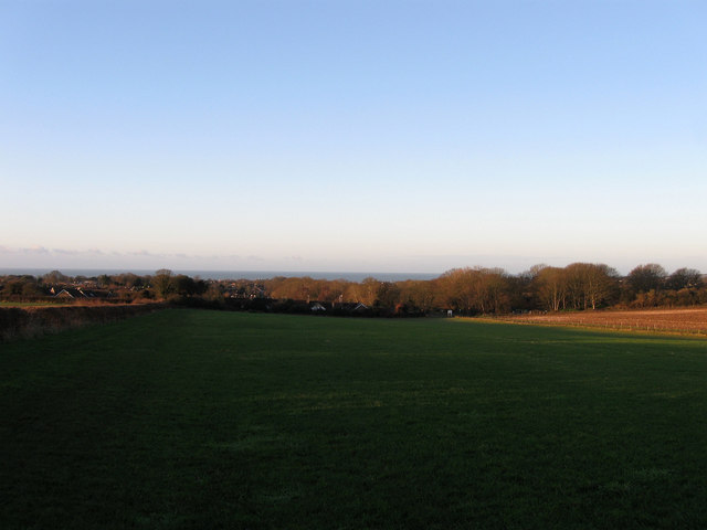
Image: © Simon Carey Taken: 1 Jan 2013
The name of the field according to Alfriston's 1842 tithe map. The hedgerow on the left and at the bottom of the field once marked the southern most boundary of Alfriston's parish with Seaford though much of the land now lies within the latter's administration.
Images are licensed for reuse under creativecommons.org/licenses/by-sa/2.0
Image Location
Latitude
50.784509
Longitude
0.130761