Cinderford Bus Station
Introduction
The photograph on this page of Cinderford Bus Station by Jaggery as part of the Geograph project.
The Geograph project started in 2005 with the aim of publishing, organising and preserving representative images for every square kilometre of Great Britain, Ireland and the Isle of Man.

There are currently over 7.5m images from over 14,400 individuals and you can help contribute to the project by visiting https://www.geograph.org.uk
Cinderford Bus Station
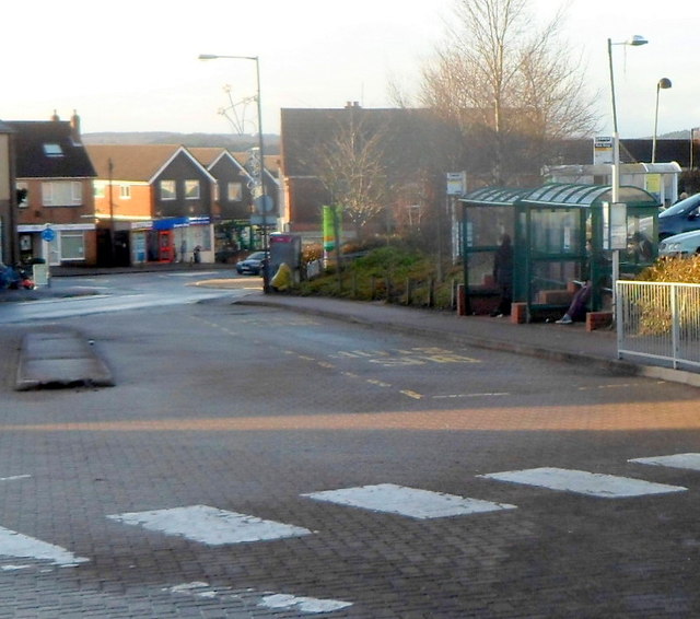
Image: © Jaggery Taken: 16 Dec 2012
Shown on maps as Cinderford Bus Station, the reality is two bus shelters alongside an area set back from the north side of Dockham Road. Cinderford formerly had a proper bus station, demolished in the late 1980s.
Images are licensed for reuse under creativecommons.org/licenses/by-sa/2.0
Image Location
Latitude
51.823748
Longitude
-2.497329