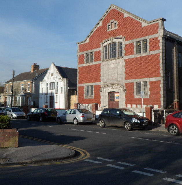
Former St David's church, Kenfig Hill
Introduction
The photograph on this page of Former St David's church, Kenfig Hill by Jaggery as part of the Geograph project.
The Geograph project started in 2005 with the aim of publishing, organising and preserving representative images for every square kilometre of Great Britain, Ireland and the Isle of Man.
There are currently over 7.5m images from over 14,400 individuals and you can help contribute to the project by visiting https://www.geograph.org.uk

Image: © Jaggery Taken: 29 Nov 2012
Viewed along Waunbant Road from the corner of Park Street. The larger, mainly brick, building is the disused St David's church. The inscription in stone above the doorway is ST DAVID'S PRESBYTERIAN CHURCH IN WALES 1928. The smaller white building is the former vestry, latterly used for worship instead of the larger building. There was no name board to indicate that this is still in use. The year 1909 is inscribed in stone on the facade of the vestry. Waunbant Road is also known locally as Stormy Road, because it leads to Stormy Down near Bridgend.
Image Location


