Church of Holy Trinity, Upper Tooting
Introduction
The photograph on this page of Church of Holy Trinity, Upper Tooting by David Anstiss as part of the Geograph project.
The Geograph project started in 2005 with the aim of publishing, organising and preserving representative images for every square kilometre of Great Britain, Ireland and the Isle of Man.

There are currently over 7.5m images from over 14,400 individuals and you can help contribute to the project by visiting https://www.geograph.org.uk
Church of Holy Trinity, Upper Tooting
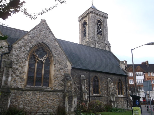
Image: © David Anstiss Taken: 9 Dec 2012
Large Grade II listed Church on the junction of Trinity Road and Trinity Crescent. See http://www.britishlistedbuildings.co.uk/en-423293-church-of-holy-trinity-upper-tooting-gre for more details of the church.
Images are licensed for reuse under creativecommons.org/licenses/by-sa/2.0
Image Location


Leaflet Map data © OpenStreetMap
Latitude
51.437711
Longitude
-0.162143