Burnhope Mast
Introduction
The photograph on this page of Burnhope Mast by Robert Graham as part of the Geograph project.
The Geograph project started in 2005 with the aim of publishing, organising and preserving representative images for every square kilometre of Great Britain, Ireland and the Isle of Man.

There are currently over 7.5m images from over 14,400 individuals and you can help contribute to the project by visiting https://www.geograph.org.uk
Burnhope Mast
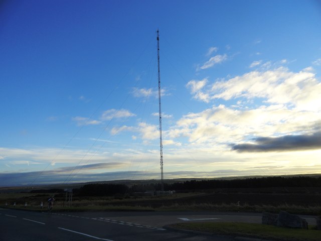
Image: © Robert Graham Taken: 28 Nov 2012
In service in 1959, for the new Tyne Tees ITV channel. It is 750 ft high and on a well chosen site at nearly 800ft. It only carries radio services now; TV was transferred some years ago to Pontop Pike nearby.
Images are licensed for reuse under creativecommons.org/licenses/by-sa/2.0
Image Location
Latitude
54.821921
Longitude
-1.715003