Honeybourne railway lines
Introduction
The photograph on this page of Honeybourne railway lines by roger geach as part of the Geograph project.
The Geograph project started in 2005 with the aim of publishing, organising and preserving representative images for every square kilometre of Great Britain, Ireland and the Isle of Man.

There are currently over 7.5m images from over 14,400 individuals and you can help contribute to the project by visiting https://www.geograph.org.uk
Honeybourne railway lines
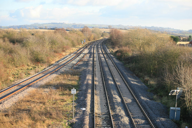
Image: © roger geach Taken: 1 Dec 2012
A view from the bridge looking East , this is the line from Worcester to Oxford.Part of this line has been re-doubled to provide more train paths after the line was rationalized in the late 1960s with large sections becoming single line.
Images are licensed for reuse under creativecommons.org/licenses/by-sa/2.0
Image Location
Latitude
52.101057
Longitude
-1.83192