The Old Tannery, Rheims Way (A290)
Introduction
The photograph on this page of The Old Tannery, Rheims Way (A290) by John Baker as part of the Geograph project.
The Geograph project started in 2005 with the aim of publishing, organising and preserving representative images for every square kilometre of Great Britain, Ireland and the Isle of Man.

There are currently over 7.5m images from over 14,400 individuals and you can help contribute to the project by visiting https://www.geograph.org.uk
The Old Tannery, Rheims Way (A290)
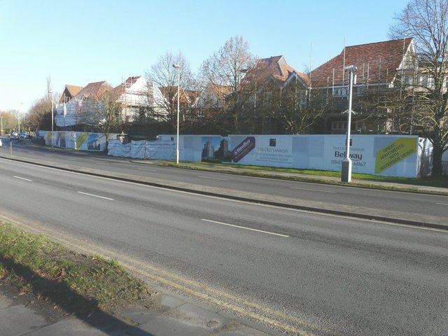
Image: © John Baker Taken: 2 Dec 2012
Planning permission has been granted by Canterbury City Council under application number CA//04/00012 details for the “demolition of buildings in connection with redevelopment to provide 444 houses and flats, 283 off-street car parking spaces, 64 bed hotel, 4 retail units (A1), 1 wine bar/restaurant (A3), 3 live/work units, 2 pedestrian bridges, public park and riverside walk”. The development extends to and along Stour Street and was once the site of St Mildred's Tannery, part of which is still standing.
Images are licensed for reuse under creativecommons.org/licenses/by-sa/2.0
Image Location
Latitude
51.276083
Longitude
1.07358