Looking east down Waldridge Road
Introduction
The photograph on this page of Looking east down Waldridge Road by Robert Graham as part of the Geograph project.
The Geograph project started in 2005 with the aim of publishing, organising and preserving representative images for every square kilometre of Great Britain, Ireland and the Isle of Man.

There are currently over 7.5m images from over 14,400 individuals and you can help contribute to the project by visiting https://www.geograph.org.uk
Looking east down Waldridge Road
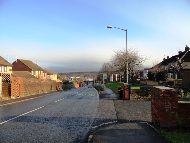
Image: © Robert Graham Taken: 28 Nov 2012
This road rises steadily uphill from the south end of Chester-le-Street town centre, to the west. The railway bridge can be seen at the bottom of the hill.
Images are licensed for reuse under creativecommons.org/licenses/by-sa/2.0
Image Location
Latitude
54.851987
Longitude
-1.578042