Footpath to Kenwick Road
Introduction
The photograph on this page of Footpath to Kenwick Road by Chris as part of the Geograph project.
The Geograph project started in 2005 with the aim of publishing, organising and preserving representative images for every square kilometre of Great Britain, Ireland and the Isle of Man.

There are currently over 7.5m images from over 14,400 individuals and you can help contribute to the project by visiting https://www.geograph.org.uk
Footpath to Kenwick Road
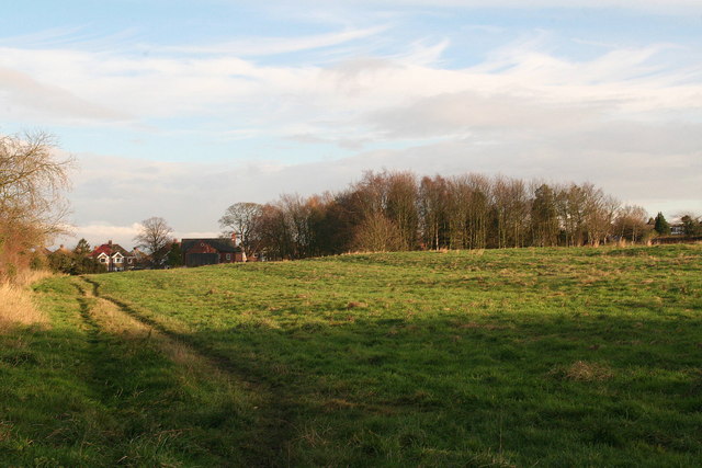
Image: © Chris Taken: 29 Nov 2012
From the old A16 past the bottom of Linden Walk, shortly after which this photo was taken. NB. There is apparently no access to it from Linden Walk, which becomes a private drive at the end, where it intersects the path.
Images are licensed for reuse under creativecommons.org/licenses/by-sa/2.0
Image Location
Latitude
53.356419
Longitude
0.006967