Brewery Square development
Introduction
The photograph on this page of Brewery Square development by Neil Owen as part of the Geograph project.
The Geograph project started in 2005 with the aim of publishing, organising and preserving representative images for every square kilometre of Great Britain, Ireland and the Isle of Man.

There are currently over 7.5m images from over 14,400 individuals and you can help contribute to the project by visiting https://www.geograph.org.uk
Brewery Square development
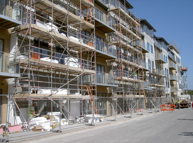
Image: © Neil Owen Taken: 5 Sep 2012
Dorchester is undergoing a massive change at the old brewery site. The new buildings going up here are part of Phase 2A, which should be open in Spring 2013.
Images are licensed for reuse under creativecommons.org/licenses/by-sa/2.0
Image Location


Leaflet Map data © OpenStreetMap
Latitude
50.709438
Longitude
-2.438703