Aston-by-Stone station remains and level-crossing on B5027, 1990
Introduction
The photograph on this page of Aston-by-Stone station remains and level-crossing on B5027, 1990 by Ben Brooksbank as part of the Geograph project.
The Geograph project started in 2005 with the aim of publishing, organising and preserving representative images for every square kilometre of Great Britain, Ireland and the Isle of Man.

There are currently over 7.5m images from over 14,400 individuals and you can help contribute to the project by visiting https://www.geograph.org.uk
Aston-by-Stone station remains and level-crossing on B5027, 1990
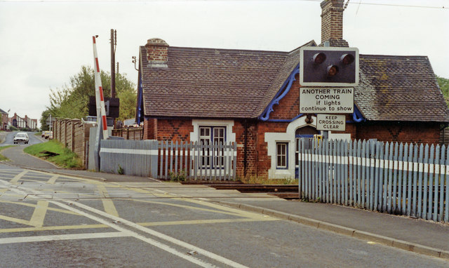
Image: © Ben Brooksbank Taken: 28 Aug 1990
View across the ex-NSR Stoke-on-Trent - Stone (to left) - Colwich (to right) main line, which connects with the WCML at Colwich and was electrified in 1966. The station was closed long ago: passengers 6/1/47, goods 13/8/62.
Images are licensed for reuse under creativecommons.org/licenses/by-sa/2.0
Image Location
Latitude
52.892314
Longitude
-2.125257