Forest Boundary
Introduction
The photograph on this page of Forest Boundary by John S Turner as part of the Geograph project.
The Geograph project started in 2005 with the aim of publishing, organising and preserving representative images for every square kilometre of Great Britain, Ireland and the Isle of Man.

There are currently over 7.5m images from over 14,400 individuals and you can help contribute to the project by visiting https://www.geograph.org.uk
Forest Boundary
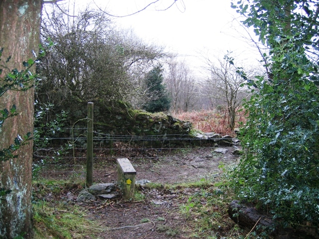
Image: © John S Turner Taken: 26 Jan 2007
The edge of the Pentraeth Forest where the footpath begins its descent towards the Anglesey Coastal Path and the car park to the south of Red Wharf Bay.
Images are licensed for reuse under creativecommons.org/licenses/by-sa/2.0
Image Location


Leaflet Map data © OpenStreetMap
Latitude
53.289435
Longitude
-4.190693