Kearsley railway station, Greater Manchester, 2012
Introduction
The photograph on this page of Kearsley railway station, Greater Manchester, 2012 by Nigel Thompson as part of the Geograph project.
The Geograph project started in 2005 with the aim of publishing, organising and preserving representative images for every square kilometre of Great Britain, Ireland and the Isle of Man.

There are currently over 7.5m images from over 14,400 individuals and you can help contribute to the project by visiting https://www.geograph.org.uk
Kearsley railway station, Greater Manchester, 2012
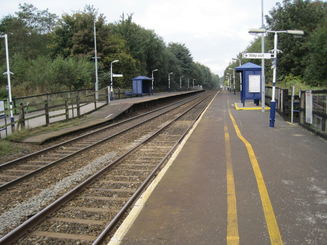
Image: © Nigel Thompson Taken: 13 Oct 2012
Opened in 1838 by the Manchester and Bolton Railway, later part of the Lancashire & Yorkshire Railway, this station was variously called "Ringley" and "Stoneclough" to 1848. It settled on "Stoneclough" from 1848 to 1894, then became "Kearsley & Stoneclough" to 1903, and has been called "Kearsley" since then. View north west towards Farnworth and Bolton, a few years before electrification. For an updated view, see Image
Images are licensed for reuse under creativecommons.org/licenses/by-sa/2.0
Image Location
Latitude
53.544291
Longitude
-2.37497