Monmouth Cap bus stop, Llangua
Introduction
The photograph on this page of Monmouth Cap bus stop, Llangua by Jaggery as part of the Geograph project.
The Geograph project started in 2005 with the aim of publishing, organising and preserving representative images for every square kilometre of Great Britain, Ireland and the Isle of Man.

There are currently over 7.5m images from over 14,400 individuals and you can help contribute to the project by visiting https://www.geograph.org.uk
Monmouth Cap bus stop, Llangua
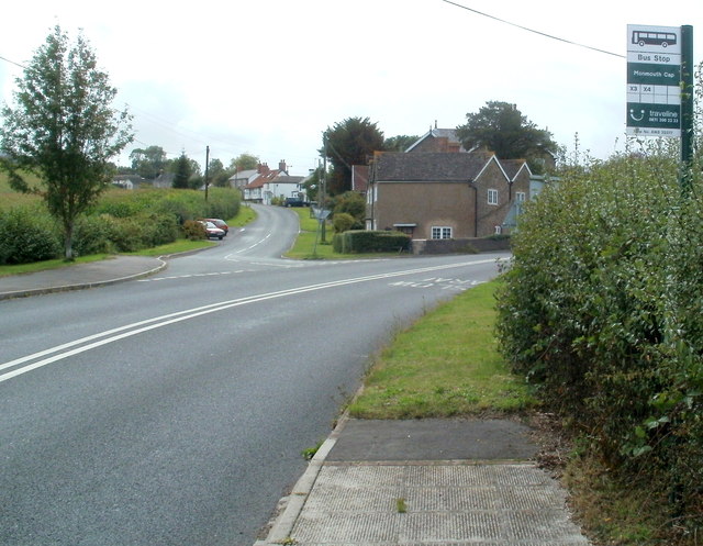
Image: © Jaggery Taken: 6 Sep 2011
A view along the A465. The left turn is for the hamlet of Llangua. This area is known as Monmouth Cap. For centuries, the main building in Llangua was a coaching inn, the Monmouth Cap, named after the flat round cap formerly made locally and worn by soldiers and sailors.
Images are licensed for reuse under creativecommons.org/licenses/by-sa/2.0
Image Location
Latitude
51.932529
Longitude
-2.882361