Stuckenduff Farm Road
Introduction
The photograph on this page of Stuckenduff Farm Road by Lairich Rig as part of the Geograph project.
The Geograph project started in 2005 with the aim of publishing, organising and preserving representative images for every square kilometre of Great Britain, Ireland and the Isle of Man.

There are currently over 7.5m images from over 14,400 individuals and you can help contribute to the project by visiting https://www.geograph.org.uk
Stuckenduff Farm Road
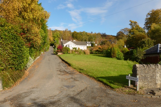
Image: © Lairich Rig Taken: 15 Oct 2012
Stuckenduff Farm (which is not the building visible ahead) is about 700 metres from here, as measured along the road.
Images are licensed for reuse under creativecommons.org/licenses/by-sa/2.0
Image Location
Latitude
56.03252
Longitude
-4.796888