Site for Wythenshawe Park Metrolink Station
Introduction
The photograph on this page of Site for Wythenshawe Park Metrolink Station by David Dixon as part of the Geograph project.
The Geograph project started in 2005 with the aim of publishing, organising and preserving representative images for every square kilometre of Great Britain, Ireland and the Isle of Man.

There are currently over 7.5m images from over 14,400 individuals and you can help contribute to the project by visiting https://www.geograph.org.uk
Site for Wythenshawe Park Metrolink Station
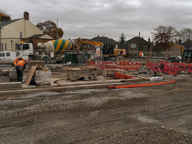
Image: © David Dixon Taken: 13 Nov 2012
Work on the Wythenshawe Park tram stop, next to Image This stop will be part of the Metrolink South Manchester Line Extension (phase 3b). This section of the tramway will run from St Werburgh's Road to Manchester Airport and is scheduled to open in 2016. http://www.lrta.org/Manchester/airport.html LRT Association "Metrolink - Airport Line" http://www.metrolink.co.uk/futuremetrolink/Pages/airport-line.aspx Transport for Greater Manchester - Metrolink Airport Line
Images are licensed for reuse under creativecommons.org/licenses/by-sa/2.0
Image Location
Latitude
53.40744
Longitude
-2.295394