Bottom of the Square
Introduction
The photograph on this page of Bottom of the Square by Michael Patterson as part of the Geograph project.
The Geograph project started in 2005 with the aim of publishing, organising and preserving representative images for every square kilometre of Great Britain, Ireland and the Isle of Man.

There are currently over 7.5m images from over 14,400 individuals and you can help contribute to the project by visiting https://www.geograph.org.uk
Bottom of the Square
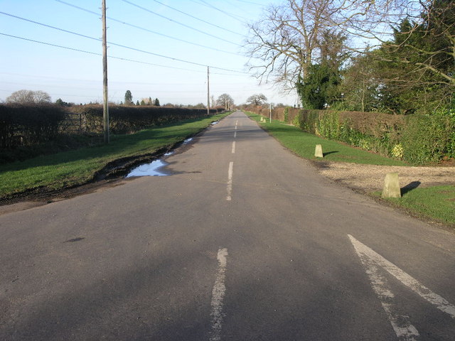
Image: © Michael Patterson Taken: 23 Jan 2007
This road junction sits right on the very southern edge of this square. Pictured is Skegby Road and the give way warning is for Tuxford Road.
Images are licensed for reuse under creativecommons.org/licenses/by-sa/2.0
Image Location
Latitude
53.215068
Longitude
-0.826653