High Street houses, Trelewis
Introduction
The photograph on this page of High Street houses, Trelewis by Jaggery as part of the Geograph project.
The Geograph project started in 2005 with the aim of publishing, organising and preserving representative images for every square kilometre of Great Britain, Ireland and the Isle of Man.

There are currently over 7.5m images from over 14,400 individuals and you can help contribute to the project by visiting https://www.geograph.org.uk
High Street houses, Trelewis
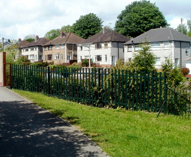
Image: © Jaggery Taken: 24 May 2011
Houses on the east side of High Street, viewed from the southern edge of the Glyn Bargoed Road footbridge. http://www.geograph.org.uk/photo/3220825
Images are licensed for reuse under creativecommons.org/licenses/by-sa/2.0
Image Location
Latitude
51.665266
Longitude
-3.294448