Coombes Rocks (1)
Introduction
The photograph on this page of Coombes Rocks (1) by John Topping as part of the Geograph project.
The Geograph project started in 2005 with the aim of publishing, organising and preserving representative images for every square kilometre of Great Britain, Ireland and the Isle of Man.

There are currently over 7.5m images from over 14,400 individuals and you can help contribute to the project by visiting https://www.geograph.org.uk
Coombes Rocks (1)
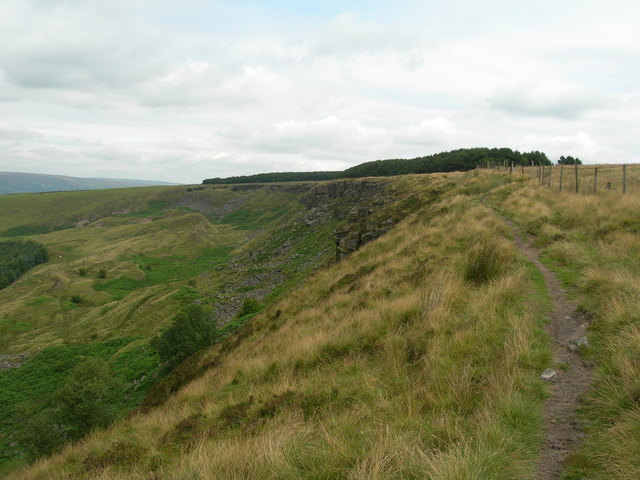
Image: © John Topping Taken: 26 Jul 2011
Coombes Rocks seen from the edge path looking northeast. See Image for the southwest view.
Images are licensed for reuse under creativecommons.org/licenses/by-sa/2.0
Image Location
Latitude
53.421825
Longitude
-1.975434