Ruchill Park
Introduction
The photograph on this page of Ruchill Park by Lairich Rig as part of the Geograph project.
The Geograph project started in 2005 with the aim of publishing, organising and preserving representative images for every square kilometre of Great Britain, Ireland and the Isle of Man.

There are currently over 7.5m images from over 14,400 individuals and you can help contribute to the project by visiting https://www.geograph.org.uk
Ruchill Park
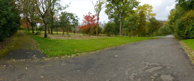
Image: © Lairich Rig Taken: 1 Oct 2012
This picture was taken near the centre of the park. The path on the right leads down to the park entrance on Bilsland Drive opposite Shannon Street.
Images are licensed for reuse under creativecommons.org/licenses/by-sa/2.0
Image Location
Latitude
55.885007
Longitude
-4.273885