Drake's Trail leading to Tavistock
Introduction
The photograph on this page of Drake's Trail leading to Tavistock by David Smith as part of the Geograph project.
The Geograph project started in 2005 with the aim of publishing, organising and preserving representative images for every square kilometre of Great Britain, Ireland and the Isle of Man.

There are currently over 7.5m images from over 14,400 individuals and you can help contribute to the project by visiting https://www.geograph.org.uk
Drake's Trail leading to Tavistock
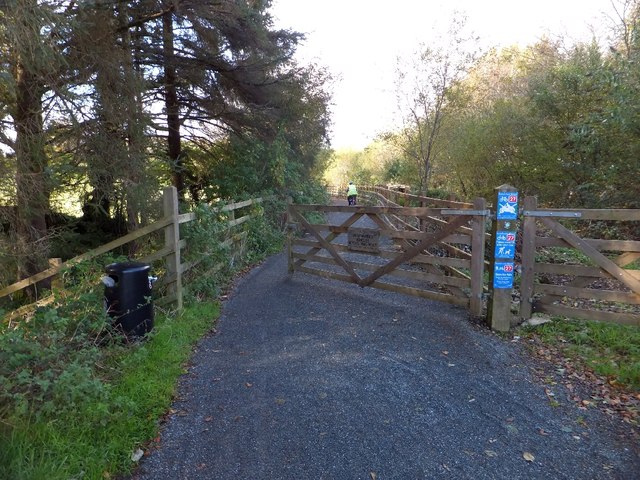
Image: © David Smith Taken: 30 Oct 2012
This is part of NCN27 (Devon Coast to Coast). This is the north end of the former Horrabridge railway station. From here the trail follows the track of the dismantled railway line
Images are licensed for reuse under creativecommons.org/licenses/by-sa/2.0
Image Location
Latitude
50.506462
Longitude
-4.102882