The River Lud at Keddington Corner
Introduction
The photograph on this page of The River Lud at Keddington Corner by Chris as part of the Geograph project.
The Geograph project started in 2005 with the aim of publishing, organising and preserving representative images for every square kilometre of Great Britain, Ireland and the Isle of Man.

There are currently over 7.5m images from over 14,400 individuals and you can help contribute to the project by visiting https://www.geograph.org.uk
The River Lud at Keddington Corner
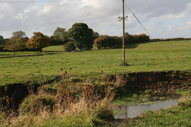
Image: © Chris Taken: 17 Oct 2012
Cattle watering place, some teasels and a view of the bridge over the Louth Canal (disused) which runs parallel (but straighter) to the meadows of Riverside Farm.
Images are licensed for reuse under creativecommons.org/licenses/by-sa/2.0
Image Location
Latitude
53.386868
Longitude
0.035166