Flood Lane, Bridport
Introduction
The photograph on this page of Flood Lane, Bridport by John Stephen as part of the Geograph project.
The Geograph project started in 2005 with the aim of publishing, organising and preserving representative images for every square kilometre of Great Britain, Ireland and the Isle of Man.

There are currently over 7.5m images from over 14,400 individuals and you can help contribute to the project by visiting https://www.geograph.org.uk
Flood Lane, Bridport
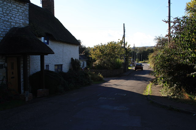
Image: © John Stephen Taken: 14 Oct 2012
View of Flood Lane looking west from the wall at the end towards West Bay Road. The path from the A35 comes in at the extreme front right.
Images are licensed for reuse under creativecommons.org/licenses/by-sa/2.0
Image Location
Latitude
50.724804
Longitude
-2.756619