Access land above Cranberry Fold
Introduction
The photograph on this page of Access land above Cranberry Fold by Bill Boaden as part of the Geograph project.
The Geograph project started in 2005 with the aim of publishing, organising and preserving representative images for every square kilometre of Great Britain, Ireland and the Isle of Man.

There are currently over 7.5m images from over 14,400 individuals and you can help contribute to the project by visiting https://www.geograph.org.uk
Access land above Cranberry Fold
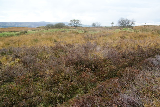
Image: © Bill Boaden Taken: 13 Oct 2012
Looking in the direction of Darwen. There are a few sheep grazing on this land but it appears to be the destination of the drainage of the farmland to the east and consequently it is very wet in places.
Images are licensed for reuse under creativecommons.org/licenses/by-sa/2.0
Image Location
Latitude
53.677385
Longitude
-2.434889