Plough Road
Introduction
The photograph on this page of Plough Road by John Baker as part of the Geograph project.
The Geograph project started in 2005 with the aim of publishing, organising and preserving representative images for every square kilometre of Great Britain, Ireland and the Isle of Man.

There are currently over 7.5m images from over 14,400 individuals and you can help contribute to the project by visiting https://www.geograph.org.uk
Plough Road
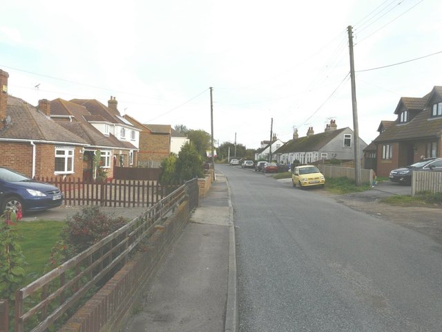
Image: © John Baker Taken: 7 Oct 2012
Just to the left of the last car on the right is a white post, whose iron work above it used to support the sign of The Plough Inn. The Plough Inn was demolished, as described in Swale Borough Council’s planning application SW/07/1192 as the “demolition of existing building and erection of detached house”. The location provided was land adjacent ‘The Plough’, Plough Road, Minster.
Images are licensed for reuse under creativecommons.org/licenses/by-sa/2.0
Image Location
Latitude
51.416956
Longitude
0.833891