Streatham Parish boundary post
Introduction
The photograph on this page of Streatham Parish boundary post by Robin Webster as part of the Geograph project.
The Geograph project started in 2005 with the aim of publishing, organising and preserving representative images for every square kilometre of Great Britain, Ireland and the Isle of Man.

There are currently over 7.5m images from over 14,400 individuals and you can help contribute to the project by visiting https://www.geograph.org.uk
Streatham Parish boundary post
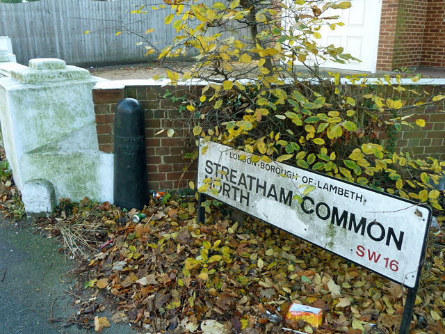
Image: © Robin Webster Taken: 19 Nov 2011
Dated 1844, nowadays it is also a marker for the boundary between the London Boroughs of Lambeth and Croydon.
Images are licensed for reuse under creativecommons.org/licenses/by-sa/2.0
Image Location
Latitude
51.423175
Longitude
-0.112714